flexAEM™ Tutorial Series & Tools
Bundle Specials

AnAqSim Instructional Series: Starter Bundle
The Starter Bundle provides a great value for those who wish to take the first step to becoming a serious groundwater modeler. And by bundling, you'll save 30%! The Starter Bundle includes:
- AnAqSim Instructional Series Exercise Packages 1-11
PURCHASE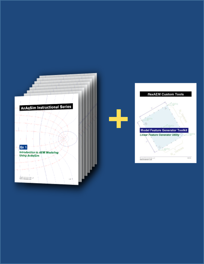
AnAqSim Instructional Series: Ultimate Bundle Special
Our Best Value! The Ultimate Bundle includes everything from the Starter Bundle, plus four additional Exercise Sets on advanced topics, and custom tools to maximize your learning experience. And by bundling, you'll save more than 50%! The Ultimate Bundle includes:
- AnAqSim Instructional Series Exercise Packages 1-15
- Model Feature Generator Toolkit
PURCHASETutorial Sets & Tools
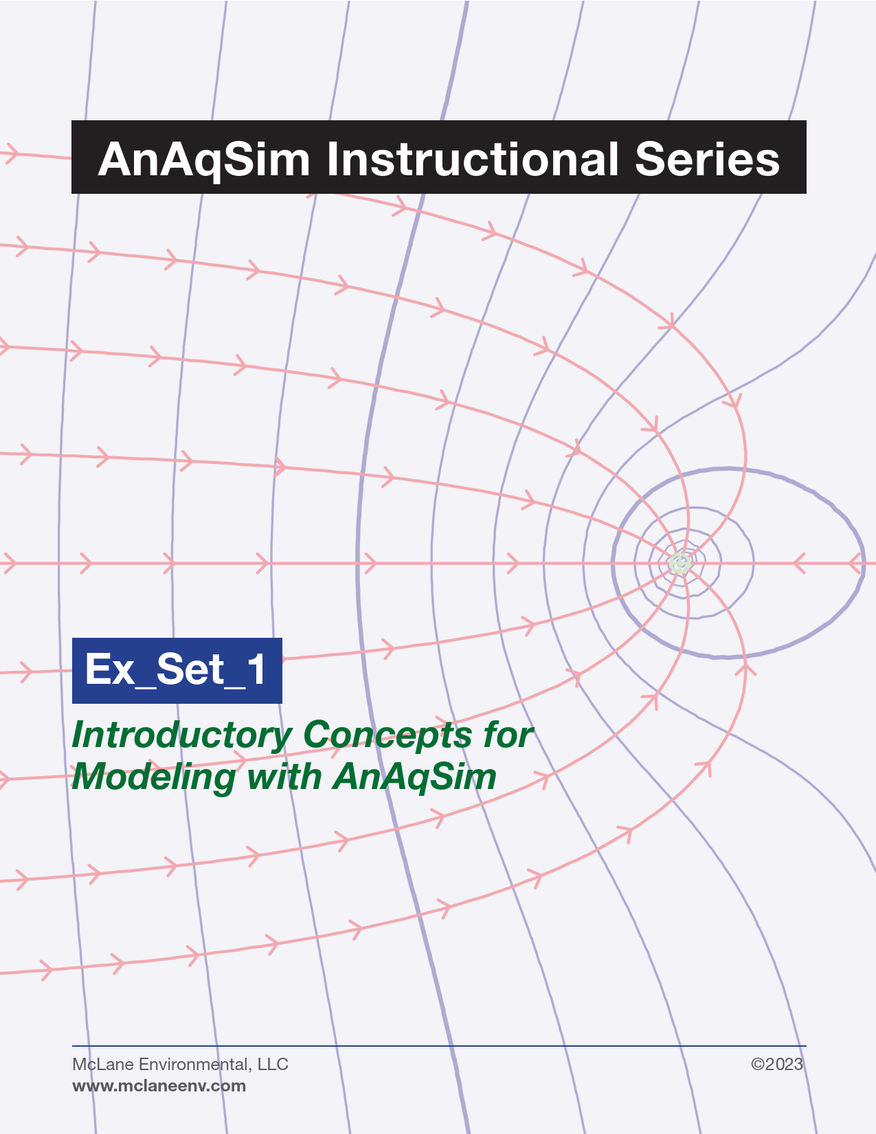
AnAqSim Instructional Series: Set 1 - Introductory Concepts for Modeling with AnAqSim
This starting series introduces concepts of aquifer hydraulics that form the basis for groundwater modeling. It also covers common types of model applications with typical environmental and engineering project examples, and an introduction to the Analytic Element Method of groundwater modeling.

AnAqSim Instructional Series: Set 2 - Simple Model Building
Exercises in this set of hands-on examples explain and demonstrate the basics of AnAqSim model building and use. Model boundary conditions and internal sources and sinks are described, and simple methods for depicting model results are presented, including potentiometric contours and basic pathline tracing.

AnAqSim Instructional Series: Set 3 - Pathline Tracing
Pathline tracing is explored in more depth, including an overview of pathline tracing techniques that build from simple point and line methods, to methods involving areally distributed starting locations. The application of 3-D tracing in a complex aquifer setting involving multiple aquifer layers and a shallow river is also demonstrated.

AnAqSim Instructional Series: Set 4 - Aquifer Boundaries and Geometry
Exercises in this set describe the application of various types of aquifer boundary conditions that control horizontal flow into and out of the regional aquifer domain including specified head, specified flux, and third-type head dependent flux boundaries. Examples are also provided for building an AnAqSim model with a lower boundary that represents a sloping aquifer base or a structurally-controlled aquifer base.
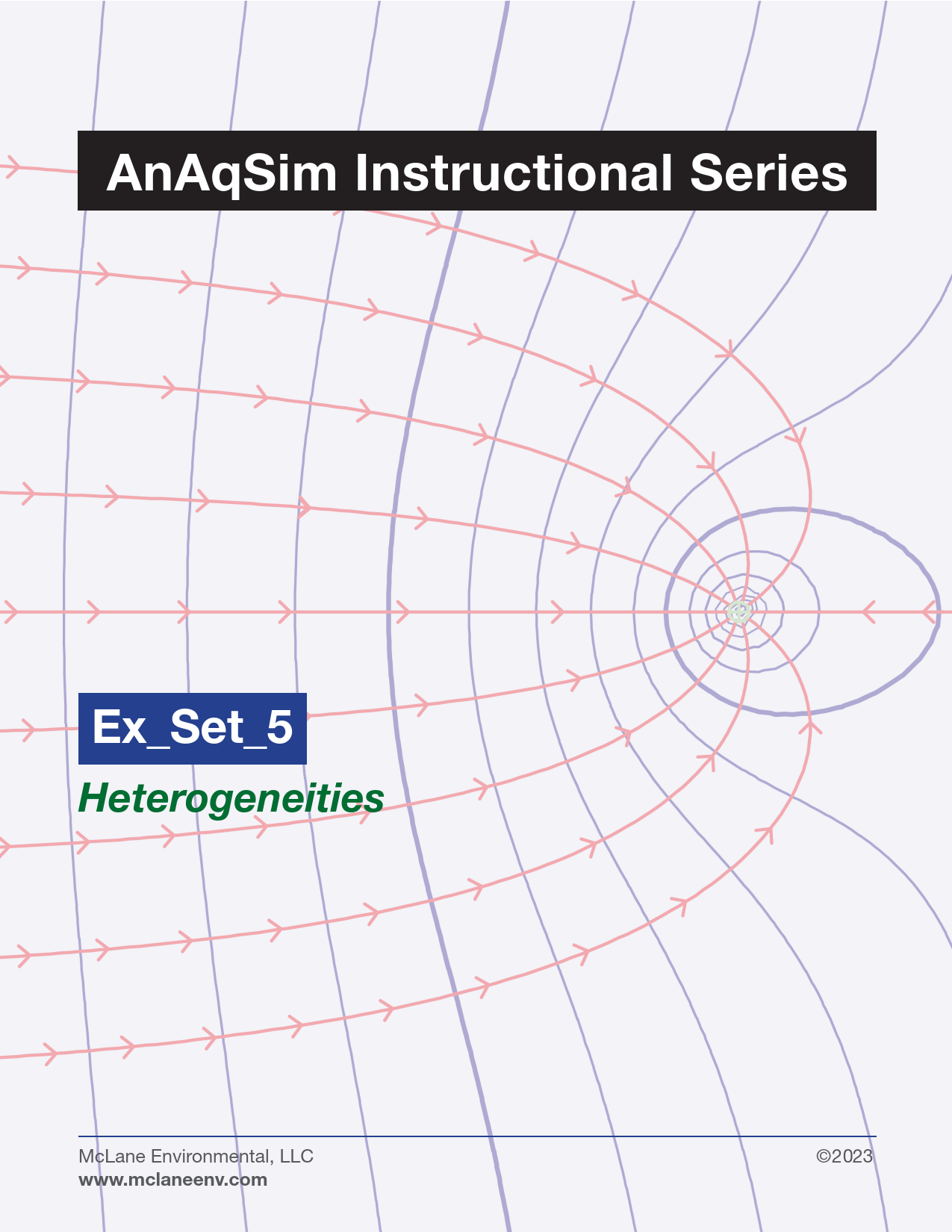
AnAqSim Instructional Series: Set 5 - Heterogeneities
One strength of AnAqSim is the ability to easily include heterogeneities (sub-domains) within the overall regional aquifer domain. These zones can be set with different aquifer properties, recharge rates, etc. Rules for digitizing and specifying the order of vertices along boundaries of various types are presented.

AnAqSim Instructional Series: Set 6 - Hydraulic Features - Linear
This set builds upon previous exercises by showing how certain line element types, and carefully constructed domains, can be used to represent linear features in a groundwater model. These types of features include engineered features such as slurry walls and trenches; and natural features such as transmissive faults or fractures.

AnAqSim Instructional Series: Set 7 - Hydraulic Features - Areal
This set of exercises demonstrates the creation of bounded model areas to represent wetlands; recharge / evapotranspiration areas; ponds and lagoons; and similar features. The process of utilizing SVAS radial basis point functions to represent water inflow or removal over the area is also described.
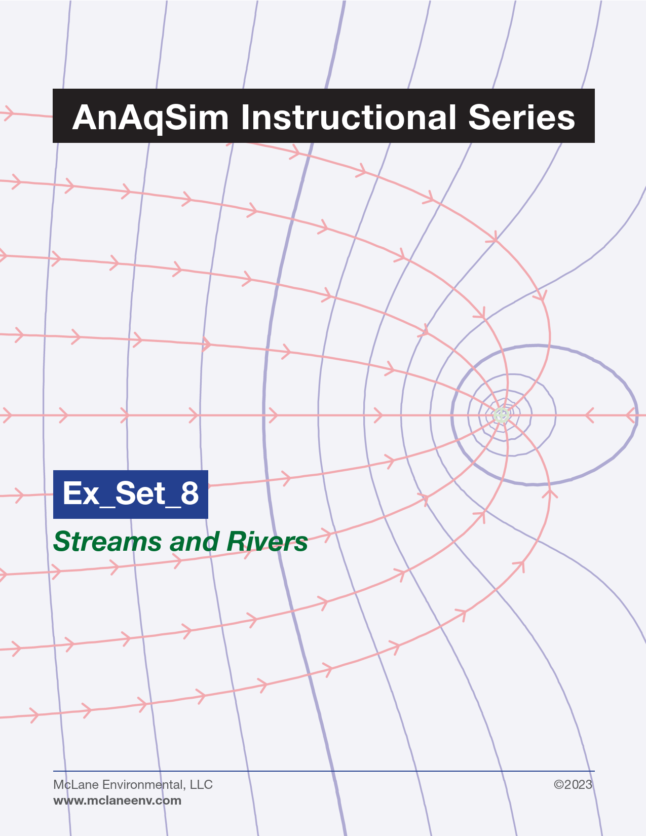
AnAqSim Instructional Series: Set 8 - Streams and Rivers
This exercise set shows how to create the locations of, and proper joins for, stream and river elements. The exercises also explore how to set the vertical elevation stream profile; how to set the river element stage and bed hydraulic conductance; and how to specify whether a river reach dries up if aquifer water levels fall.

AnAqSim Instructional Series: Set 9 - Multiple Layers
The ability to create multiple stacked aquifer and aquitard layers is one of the key features that makes AnAqSim so powerful. Exercises in this set describe how to build and order model layers; how to set their vertical hydraulic properties; and how to place and analyze partially penetrating features (such as pumping wells).
AnAqSim Instructional Series: Set 10 - Transient Modeling
The ability to simulate transient conditions is another key feature of AnAqSim. These exercises describe the step-by-step process of creating a steady-state model to calculate initial conditions, placing any desired transient hydrograph points, and the conversion of that model to a corresponding transient model.
AnAqSim Instructional Series: Set 11 - Model Calibration
AnAqSim facilitates flow model calibration by a set of built-in tools. Exercises in this set demonstrate how to establish calibration targets at desired locations within the model domain, and how to print and plot calibration results as an aid to adjusting model parameters to improve performance.
AnAqSim Instructional Series: Set 12 - Saltwater Interface Modeling
In coastal aquifer settings the outer boundary of the model may be formed by the interface between fresh water in the aquifer and denser seawater. These exercises demonstrate how to easily set up a freshwater-saltwater interface boundary in AnAqSim, and to calculate the movement of that interface as aquifer conditions change.

AnAqSim Instructional Series: Set 13 - AnAqSim Tools, Tips, and Techniques
This exercise set describes the many tools that are built into AnAqSim for model building and evaluation of model results (including use of basemaps and digitizing tools, and analysis tools such as the real-time cursor inspection tool). These tools are the most powerful aspects of AnAqSim for interpreting and presenting model results.
AnAqSim Instructional Series: Set 14 - Using QGIS to Build AnAqSim Models
AnAqSim allows for the basic use of basemaps and digitizing tools to create scaled, georeferenced model elements. This set of exercises describes a more powerful method for digitizing hydrologic features within a GIS system that are properly scaled and georeferenced for direct incorporation into AnAqSim.

AnAqSim Instructional Series: Set 15 - AnAqSim and PEST
PEST is one of the most widely used software programs for automated calibration of groundwater models. This exercise set shows how PEST can be linked with AnAqSim to provide a robust, spatially accurate, and efficient means of estimating aquifer parameters and evaluating parameter uncertainty for steady state and transient flow models.
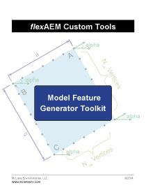
flexAEM Custom Tools: Model Feature Generator Toolkit
The flexAEM software tools package consists of a series of Microsoft Excel spreadsheet utilities designed to assist users in rapid AEM model development. These tools allow users to generate coordinates for customized model boundaries, as well as precise geometric shapes, including rectangles, rounded rectangles and ellipses.
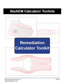
flexAEM Remediation Calculator Toolkit
The flexAEM Remediation Calculator Toolkit includes a set of 12 calculators that can be used to design and evaluate a wide range of groundwater remediation systems using site specific aquifer properties and design parameters.