About flexAEM™
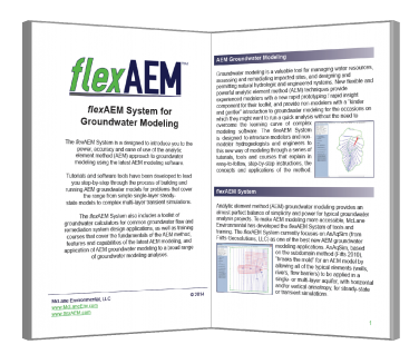
flexAEM is a groundwater modeling system built around the domain analytical element method. flexAEM incorporates training materials, software tools, in-person courses, and introductions to the latest AEM modeling software. Please see our brochure for a complete overview of the flexAEM System.
flexAEM is developed and supported by McLane Environmental. Many of the exercises and tutorials are directly from our experiences applying AEM models, and AnAqSim specifically, to our projects.
- Tutorials & Courses
flexAEM offers a series of introductory and advanced training packages, reference materials, in-person training courses, and webinars designed to help groundwater modelers and environmental professionals take advantage of the flexibility and speed of AEM modeling. - flexAEM Custom Tools
A collection of utilities designed to improve the ease and accuracy of creating groundwater models. Great for creating AnAqSim base maps and hydrologic elements, fine-tuning model calibration, or displaying model results. - AnAqSim
The new standard in AEM modeling software for analyzing regional flow, well drawdown and capture zones, remediation designs, dewatering systems, infiltration mounding, embankment seepage, and more. Build models for single- and multi-layer aquifers, with horizontal and vertical anisotropy, for steady-state or transient simulations. - TS-CHEM
A software library of simple but powerful analytical solutions to the advection-dispersion equations that govern contaminant transport in groundwater. You can first build an AnAqSim groundwater flow model to calculate groundwater flow direction and velocity, and then use that information to construct a simple contaminant plume model. TS-CHEM has a full suite of built-in tools for displaying plume contours and concentration trends, calculating plume geometry and mass, and plotting the location of the plume on an interactive digital map of your site area. - QGIS
A powerful, user friendly open-source Geographic Information System (GIS) that provides a growing number of capabilities, while supporting numerous vector, raster, and database formats. Users can visualize, manage, edit, and analyze data, everything that is needed to work on hydrogeologic projects. QGIS can be used to create basemaps and display model results, such as contours or pathlines, in two and three dimensions. - Other commercial software tools
The data, models, and results from the AEM models can be exported to a wide range of commonly used environmental software (such as ArcGIS®, Excel®, Earth Volumetric Studio™, Surfer® and many others) for additional quantitative analyses, 2D and 3D visualization, and as input to other models. - Available for Academic Use
All tutorials were designed to create a sequential and comprehensive introduction to groundwater modeling and the fundamentals of hydrogeology that play an important role in modeling. The tutorials can provide a ready-made or customizable approach for hands-on learning of groundwater modeling using a new and powerful modeling technique. Please contact us directly for special academic pricing.